
My Personal Map of Aix-en-Provence, France
In this photoset, I aim to showcase my time studying abroad in Aix-en-Provence where I have been creating maps through my internship using GIS software that I have learned to use over the course of the semester. Through my internship, I work with digital mapping tools like QGIS to organize, analyze, and visualize geographic data. These maps are designed to communicate information clearly. However, they cannot replace the lived experience of studying abroad that photography can portray. With this map and these pictures I have worked to create a “personal GIS map” of my life in Aix.
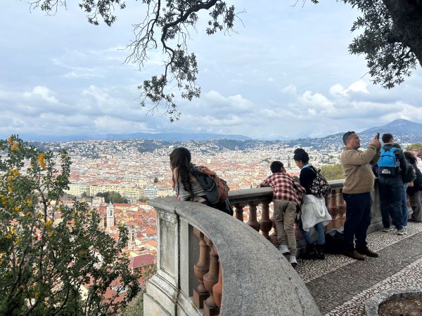
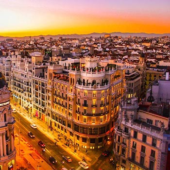
I noticed someone looking out over Aix’s Old Town, and it reminded me that from above, the city becomes visible as a whole, yet each street below holds its own story.
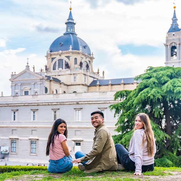
Each photograph I’ve shared here represents a point on my own mental map of the city, like important landmarks and my favorite spots to hang out. These include academic spaces, work environments, and cafés where I study. Together, they form a network that reflects my experiences around France and documents my favorite moments.
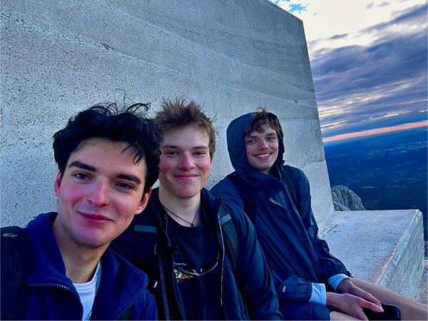
At Montagne Sainte-Victoire, the highest point on my map offers my friends and me perspective, both geographically and personally.
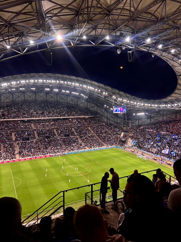
At Stade Vélodrome, my map expands beyond academics to include the fun cultural spaces that define local life. My friends and I visited this spot to watch a Marseille football match.
By pairing images of mapped locations with the real spaces themselves, I think that the map gains a human component that is not seen with just data plotted.
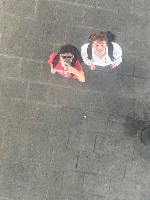
In Vieux-Port de Marseille, my friend and I took a photo in a mirror at this historic spot, turning a landmark into a personal anchor on my map.
This work also reflects my growing independence and adaptation to a new cultural context during my time studying abroad. As I navigate unfamiliar situations, whether in my internship or daily life, I am constantly encountering new places.
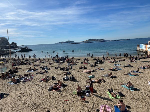
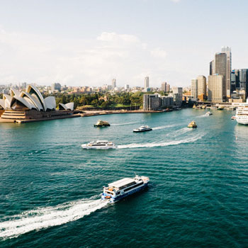
At the edge of Marseille, the map opens outward towards a great place to spend a sunny day.
Over time, what once felt foreign to me has become structured and familiar, much like a map that becomes clearer as more data is added. In this sense, the project is similar to my overall experience studying abroad and becoming accustomed to a new culture.
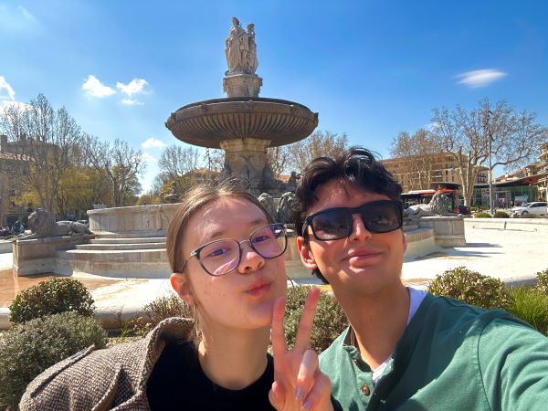
At Fontaine de la Rotonde, my friend and I found that the energy of market day can turn a familiar landmark into a center of my personal map.
Ultimately, I believe that this photoset shows that maps are not just tools for understanding space, but also for telling stories. By combining my academic work with my personal experience, I want to present the experience of studying and completing an internship abroad not just as a resume builder, but as a life-changing experience.